
Sale!

Original price was: $30.95.$21.67Current price is: $21.67.
- Safe Transactions, Always
- Experience the difference quality makes.
- Expertly Sourced, Quality Guaranteed
- Safe Payments for a Better Shopping Experience

The RiverMaps Guide Book to the Lower Dolores River is the go-to mile-by-mile river map guide for planning a trip and navigating the Dolores from Bradfield to Dewey.
- 72 pages waterproof pages covers 174 miles of the Rio Chama from put-in at Bradfield, CO to Dewey Bridge, UT.
- Spiral bound format with full color topo maps on the right side and complete text descriptions on the facing page.
- Excellent mile by mile information on rapids, campgrounds, geological features, historical sites and reference points.
- High-quality, spiral bound waterproof paper won’t tear or bleed.
- Most proceeds go to benefit Dolores River Boating Advocates.
Be the first to review “Rivermaps Dolores River Guide”
Related products
Sale!
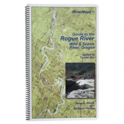
Guide Books
Original price was: $24.95.$20.71Current price is: $20.71.
Sale!

Original price was: $32.95.$23.72Current price is: $23.72.
Sale!

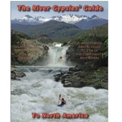
Original price was: $44.95.$32.36Current price is: $32.36.
Sale!

Guide Books
Original price was: $24.95.$18.71Current price is: $18.71.
Sale!
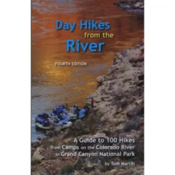
Grand Canyon Books
Original price was: $21.95.$17.12Current price is: $17.12.
Sale!
Guide Books
Original price was: $29.95.$23.66Current price is: $23.66.
Sale!

Original price was: $27.95.$19.84Current price is: $19.84.
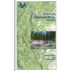
Sale!
Guide Books
Original price was: $22.95.$16.75Current price is: $16.75.
Reviews
There are no reviews yet.